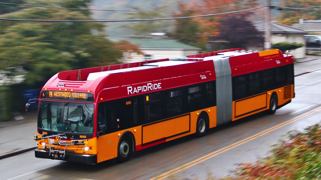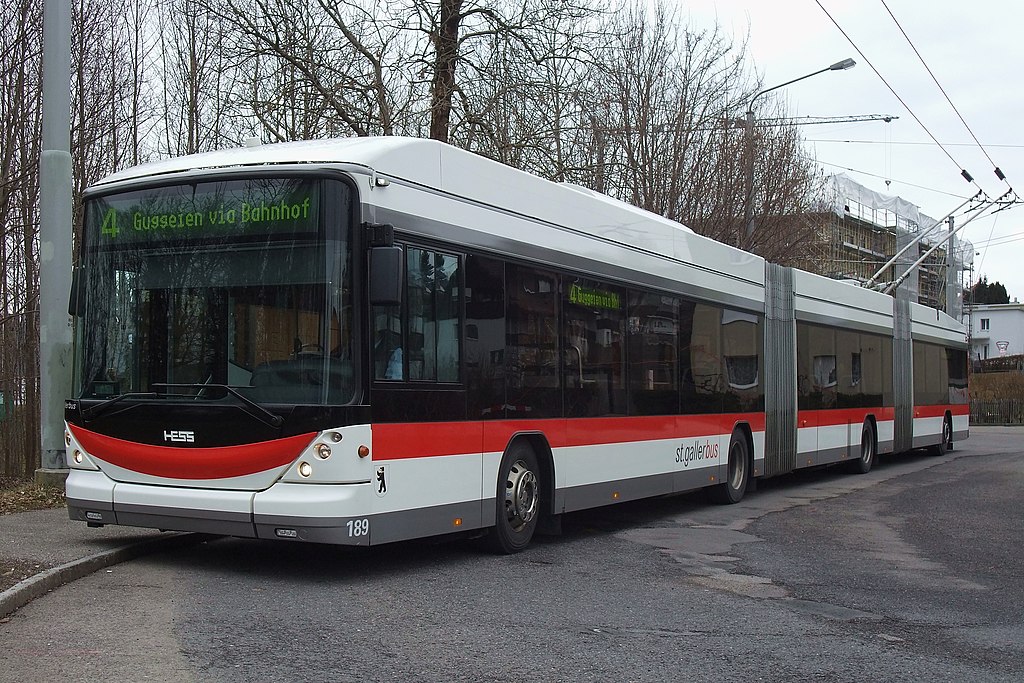
“Double Articulated Trolley Bus” by Kecko is licensed under CC BY 2.0.
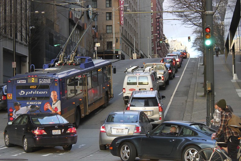
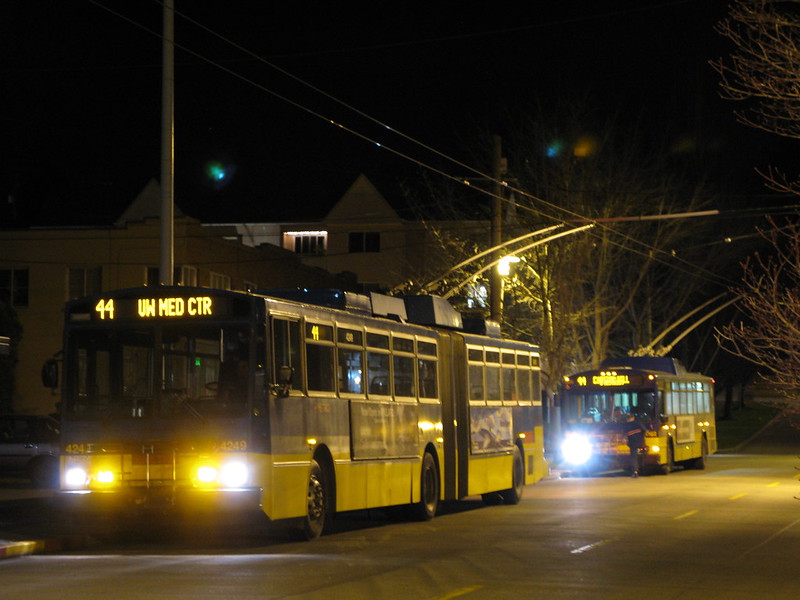
When trying to solve a complicated problem, I find it useful to ignore obvious constraints at first. It’s obvious that a transit vehicle cannot hold an infinite number of people. Yet when I proposed a redesign of King County Metro’s transit network in Seattle with frequent, 24 hour, seven day per week service, that is exactly what I did. I find that being confronted with a large number of constraints early on encourages an overly conservative end goal.
Beyond the objective of uniformly frequent service, only one constraint governed my redesign. I did not want the new network to increase the number of person-hours required to operate the system’s transit vehicles. This is the predominant expense of transit agencies. Keeping this net-neutral separates a pragmatic proposal from a fantasy. All other constraints could be sorted out later. Thinking in this way produced a network that doesn’t resemble typical transit service, though a rider could easily see the benefits.
[Read More]