Due to a computational error, the data and conclusions in this post may not be accurate.
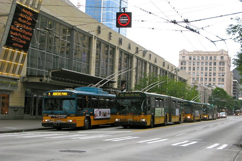
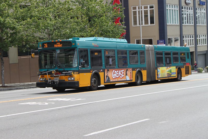
“Buses in front of Benaroya Hall” by Oran Viriyincy is licensed under CC BY-SA 2.0.
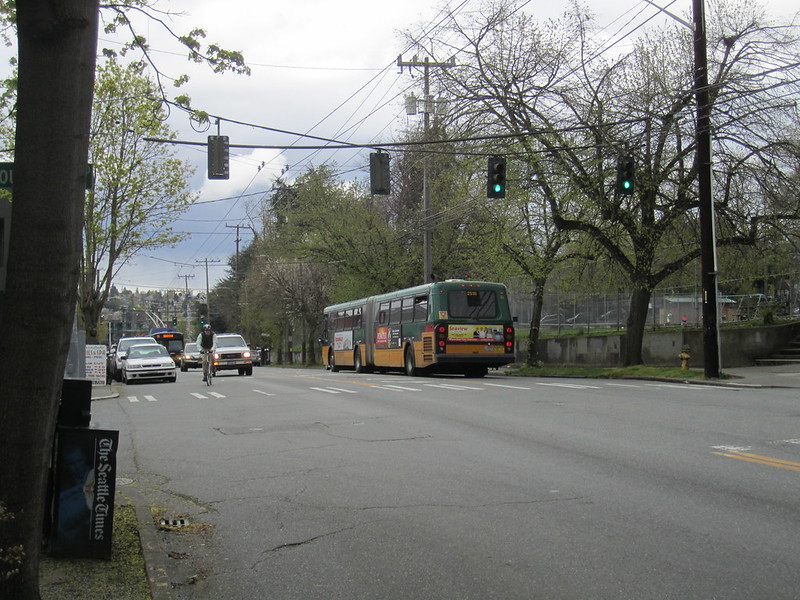
King County Metro is facing a labor shortage. Due to a lack of operators and mechanics, on September 2nd, 20 routes will be either suspended or modified to run less frequently. Routes have been chosen based on low ridership or already-high frequency, with the rationale that this will negatively impact the fewest riders. Service hours will be reduced by 3.8%.
Canceling and lowering the frequency of routes is a pragmatic way for King County Metro to decisively deal with a labor shortage. It’s also an approach that necessarily reduces the ability to access destinations via transit. I’m considering a different one. My previous examination of access across cities has convinced me that Metro’s allocation of transit service hours is subpar. By considering options beyond cancelations and frequency reductions, there could be a way to reduce the amount of service that doesn’t negatively impact overall access. This is an experiment in completely restructuring King County Metro’s transit routes in Seattle.
[Read More]