“Metro 2518 on Eastlake Avenue” by SounderBruce is licensed under CC BY-SA 2.0.
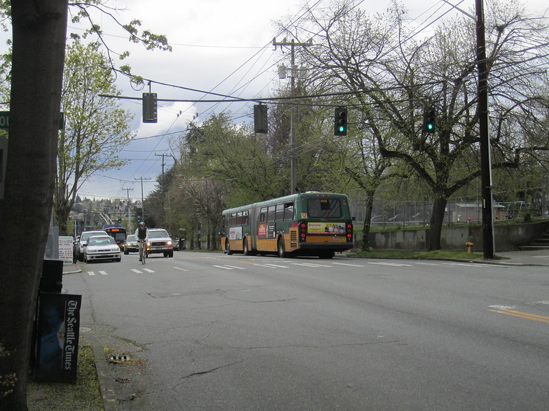
Nearly 12 years ago, I sat at a table near the front windows of Pazzo’s in Seattle’s Eastlake neighborhood and confirmed plans to tour some nearby apartments. As I ate my calzone, I noted the route 70 buses that passed by on Eastlake Avenue East. I considered living near a bus route to be a necessity, but I thought of this requirement in unsophisticated terms. Any bus line would do. At the time, I didn’t fully appreciate that the transit service running through Eastlake was frequent. One’s proximity to frequent transit service is typically a reasonable heuristic for assessing one’s ability to use transit as a primary means of travel; it’s one that I learned to employ as my use of transit grew. From the perspective of proximity to frequent transit, Eastlake seems like a good place to be a transit rider. The problem is that from a more sophisticated transit access standpoint, Eastlake is below average in Seattle.
Recently, I’ve been thinking about this discrepancy. Making urban planning decisions on the basis of access to frequent transit has been the subject of state legislative action. House Bill 1110, currently waiting on a presumptive signing by the governor, concerns restricting parking minimums and single-family zoning requirements in areas that are within one quarter mile of walking distance to “major transit stops”. In the original version of the bill, frequency was listed among the conditions that bestowed the “major” designation. These were the stipulations:
A stop for a bus or other transit mode providing a minimum of seven days per week of actual fixed route service at intervals of:
(A) Fifteen minutes or fewer on nonholiday weekdays between 9:00 a.m. and 5:00 p.m.;
(B) Thirty minutes or fewer on nonholiday weekdays between 6:00 a.m. and 9:00 a.m. and between 5:00 p.m. and 10:00 p.m.; and
(C) Thirty minutes or fewer on weekend days between 9:00 a.m. and 5:00 p.m.
Meanwhile, since 2018, parking minimum requirements have been waived in Seattle for areas within 1,320 feet of walking distance to frequent transit stops, defined as such:
“Transit service, frequent” means transit service with scheduled service in a typical week meeting or exceeding the following scheduled frequencies:
- On weekdays from 6 a.m. to 7 p.m., 15 minutes on average (i.e., 52 trips between 6 a.m. and 6:59 p.m., inclusive), and no individual hour with fewer than three scheduled trips in each direction;
- On weekdays from 7 p.m. to 12 a.m., 30 minutes on average (i.e., ten trips between 7 p.m. and 11:59 p.m., inclusive), and no individual hour with fewer than one scheduled trip in each direction; and
- On weekends from 6 a.m. to 12 a.m., 30 minutes on average (i.e., 36 trips between 6 a.m. and 11:59 p.m., inclusive), and no individual hour with fewer than one scheduled trip in each direction.
- For the purposes of this definition, “individual hour” means the 60-minute period beginning at the top of each hour; e.g., 6 a.m. to 6:59 a.m., inclusive, or 3 p.m. to 3:59 p.m., inclusive.
I have mixed feelings on regulations like this. I contend that parking minimums and single family zoning restrictions are poor solutions to a fundamental problem. Private car storage is expensive and space-inefficient, causing contention for public parking space as population density increases. I would prefer an approach that moves towards elimination of these mandates1, rather than constructing a more complicated flow chart for determining where and where not to impose them. Nevertheless, if there must be parking minimums and single family zoning, the place to disallow them would be near the best transit. It’s heartening to see multiple legislative bodies acting with an understanding that frequency has an impact on how easily one can rely on transit. The more I’ve worked with transit access, though, the more I believe this approach is not sophisticated enough.
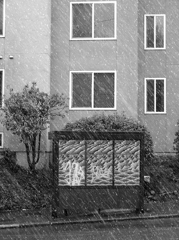
“snowing in eastlake - bus stop” by striatic is licensed under CC BY 2.0.
In my last post, Exploring Exceptionality, I employed z scores as a way to assess how the transit access of parts of Seattle—formed by overlaying the city with a grid of 80 meter by 80 meter sectors—compare to that of the whole. As a companion to this piece, I created an updated 30-minute access map of Seattle, and improved the map viewer so that z scores can be shown on this map. This is done by choosing the “Mean Inbound/Outbound Z Score” option from the menu next to the color scale. The color scheme highlights where transit access flips from above to below average. Outside of a few sectors at the extreme north end, transit access in Eastlake is below average with respect to Seattle. Yet all of these sectors would easily pass the city and state criteria for proximity to frequent transit. They are all well within the walking distance threshold of route 70 stops, and route 70 runs with 15-minute or better service far beyond the required time span. If the intent of the legislation is to identify areas with the best—or even just above average—transit, it’s not working in Seattle.
To be fair, that’s not what the “frequent transit” or “major transit stop” designations intend to do. They don’t say anything about transit service being above average; perhaps even below average transit service in Seattle is sufficient for enticing residents to eschew a car. The conundrum only emerges because it’s possible to find areas that don’t match the frequency criteria, but do have above average transit access. The most recent map of Seattle’s frequent transit areas2 that I could find dates from 2018. While much has changed since then, the structure of King County Metro’s bus service is largely the same in most parts of Seattle, if not somewhat reduced. So outside of areas that have seen new Link stations added, the map is still a fair assessment of where there is frequent service today.
Consider the area along Eighth Avenue Northwest bounded by Northwest 65th Street and Northwest 80th street. The frequent transit map shows that much of that area does not meet the city’s definition of being within walking distance of frequent service. Yet the access map indicates that each and every sector in that area allows the people there to access more destinations more often than those of Eastlake. They are all above average with respect to transit service in Seattle, even though the 28 bus route along Eigth Avenue Northwest is not frequent. It’s not that frequency doesn’t matter; it’s that in addition to the infrequent 28, it’s also possible to walk further, catch the more frequent D Line, 5, or E Line, and reach a destination in under 30 minutes. In some parts of the area, reaching the east-west running routes 44 and 45 are possibilities as well. But I wouldn’t advocate for replacing frequency-based decision making with simply counting the number of nearby routes. Transit networks are complex systems. The quality of transit service in an area is the convolution of many properties; the importance of each are unknown and variable. This is where access-based measurements thrive; they don’t judge goodness from a limited set of factors, they calculate what can actually be reached, in order to quantify what the transit network is capable of.
This is not to say the manner of measuring access that I employ is a perfect reflection of how well any person can get around with transit; it is unsound or incomplete in certain ways3. Perfection is not the goal, though. The measurement only has to be less flawed than the exclusively frequency-based approaches described by the legislation, and that is easy to demonstrate. Most transit riders have an intended destination and do not want to spend more time than necessary to get there. Proximity to frequent transit captures one dimension of this: the ability to not burn a lot of time walking to and waiting for the first transit vehicle on one’s trip. That’s important, but there are more considerations. Does the vehicle move fast or slow? Does the vehicle stop frequently or only serve a limited number of stops? Does the vehicle stop in places that are proximate to other routes to allow quick transfers to them? What is the frequency of these connecting routes? Once off the transit vehicle are the walking paths to destinations direct or indirect? None of these factors are captured in the parameters specified in either piece of legislation; my access analyses incorporate all of them.
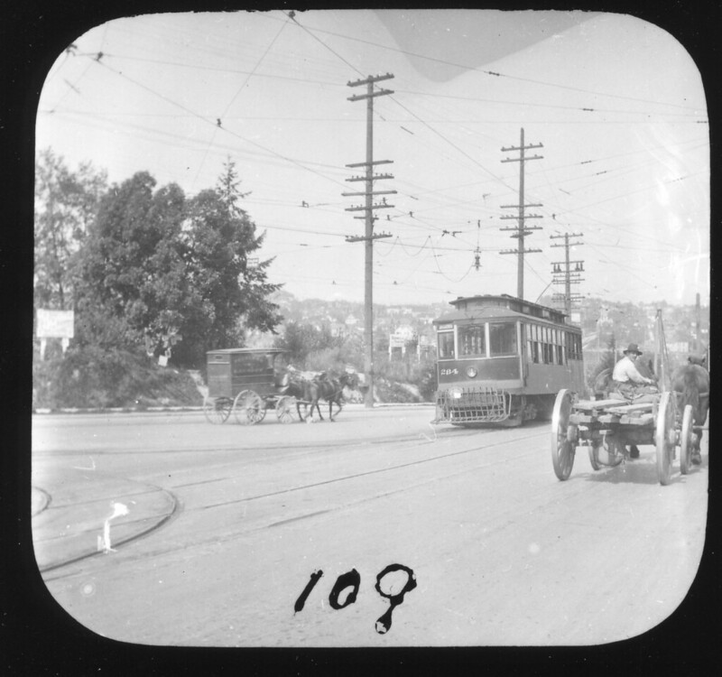
“Eastlake and Harvard, Seattle, 1913” by Rob Ketcherside is licensed under CC BY 2.0.
It’s not my intention to deem the legislation as worthless as a result of that, only to encourage some necessary criticality of a flawed approach to thinking about transit. In a sad turn of events, the frequency-based criteria for establishing a stop as “major” were struck during a revision to the bill. Kept were a set of criteria primarily based on the mode of transit that serves a stop. This type of heuristic is even less capable of determining where access to transit is best. Many areas in Seattle have above average transit access by way of bus service only, but bus stops will only count as “major” if the route serving them is defined as bus rapid transit or operated by trolleybuses4. From an outcomes perspective, this change doesn’t radically alter what this law will do for Seattle. From a process perspective, the backsliding in sophistication, when I strongly feel that more is actually due, disappoints me.
My hope is that the clear-cut example of Eastlake—which highlights in a concrete way that the criteria the legislators initially chose failed to identify locations with the best transit access—can offer a path to more sophisticated decision making in the future. While it’s disappointing that those who are charged with funding and regulating public transit don’t appear to get it, I acknowledge that there was a time when I didn’t get it either. Unfortunately, this is not the first time I’ve made the case for access measurement in this domain, to no end. During the formulation of Seattle’s parking requirement reduction legislation, I reached out to several of the involved parties with similar arguments and never heard back. With this piece of legislation regressing to a less sophisticated measurement, admittedly, I am discouraged once again.
A future with better transit service depends on decision makers at the city, county, and state level growing their understanding. Presently, policies will be made based on an officially-prescribed view of transit quality that, for example, asserts that Eastlake’s transit service puts it in a special top tier of locations. From an access measurement perspective, the locations in that tier have anywhere from below average transit access to access that is greater than four standard deviations above the city average. This is a huge range, and treating all of them the same way hides problems. The proximity to frequency view prevents transit service in Eastlake from being viewed as a failure. A considerable investment in frequency nevertheless results in below average access. If the city used a method that didn’t compress a broad range of access into a single, flawed indicator of sufficiency, it could work with King County Metro to plan new routes and reallocate service hours in a way that could possibly correct this5. It’s telling, then, that the city and county’s foreseeable plans for Eastlake are limited to a conversion of route 70 to bus rapid transit with minor frequency improvements and largely the same routing. What allows this to happen is the city’s use of a method that badly hints at, rather than making evident, where transit riders can actually reach a broad variety of destinations quickly and whenever—the thing that transit riders are trying to do.
There’s an answer to the measurement conundrum in Eastlake. A transit rider’s experience is more closely captured by access measurement. So when it and proximity to frequent service measurement disagree, the latter needs to be disregarded. It’s unfortunate, to instead see frequent service qualifiers, or worse, methods based on mode type, enshrined in present and presumptive legislation. I won’t be rioting in the streets if House Bill 1110 becomes law; its positive outcomes overcome the flaws in its formulation. Nevertheless, I hope future legislation holds more sophisticated mechanisms of evaluating transit. After being disappointed twice, it’s cathartic to be critical, but I’d much prefer to be asked to help.
-
Fundamentally, I feel as though increased contention for parking, and thus increased inconvenience associated with driving, is a long-term social good, not something to be legislated away. A legislator looking to get reelected by a largely car-owning electorate might feel incentivized otherwise! ↩︎
-
Note that, on this map, some areas that definitely have frequent transit are not shaded in gray. I believe this is because the map excludes areas that are part of special districts that already alter parking minimums. ↩︎
-
Foremost in my mind are that it assumes a single fixed walking speed and that, in a single calculation, it only measures transit access given one maximum duration of trips. ↩︎
-
Trolley buses are considered fixed-guideway transit by the Federal Transit Administration, and the law considered fixed-guideway stops as “major”. ↩︎
-
While the natural and built environment conspire to limit the number of ways one can enter and leave Eastlake, it’s conceivable that a east-west route, starting in the longitudinal middle of Eastlake, could provide frequent connections to routes 49, 48, 65, 255, and the Link at University of Washington Station. Taking service hours from route 70’s current duplicative path through downtown might be a way to provide this without degrading service elsewhere. ↩︎